Population Within a Radius
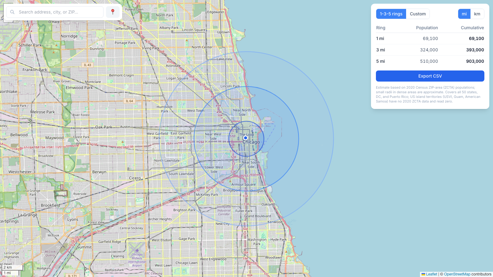
Population within a radius, from official Census counts
Drop a point and this tool adds up the 2020 US Census population of every ZIP area inside the circle — shown as 1, 3, and 5-mile rings with running totals, the format retail and restaurant site-selection teams use.
The numbers are official 2020 Census counts (a 100% enumeration), not modeled estimates from a commercial data vendor — so you can cite the source. Every figure is an estimate at the ZIP level and rounded accordingly.
Why 1, 3, and 5-mile rings?
Concentric 1/3/5-mile rings are the default trade-area geometry in retail site selection. The 1-mile ring is the immediate walk-in catchment; the 3-mile ring is the primary market that drives most visits; the 5-mile ring is the secondary market. Reading population as cumulative circles (and the incremental band each ring adds) is exactly how a store-location analyst sizes a candidate site.
Need a different distance? Switch to custom radius for a single circle, toggle miles or kilometers, and export the ring table to CSV for your spreadsheet or deck. To see the specific ZIP codes inside a radius instead of a population total, use the ZIP code radius tool.
Method, accuracy, and coverage
Population is summed by ZIP Code Tabulation Area (ZCTA): a ZIP whose center point falls inside the circle contributes its full 2020 population; one whose center falls outside contributes nothing. That boundary rounding makes small radii in dense areas approximate — a half-mile circle downtown can swing by a whole ZIP — while larger radii average out and track the real figure closely.
Coverage is all 50 states, DC, and Puerto Rico. US island territories (US Virgin Islands, Guam, American Samoa, Northern Mariana Islands) have no 2020 ZCTA population and will read zero. For a straight distance circle without population, see the radius map; to measure land area instead of population, the area calculator traces any shape.